Ability Enlargement for Geophysicists and Information technology Specialists Gulf of Corinth project
Coordination: F. Cornet, IPGP
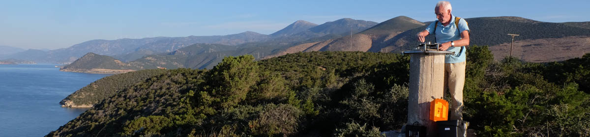
The objective of this project is to help fill the skill gap in Information Technology for personnel concerned with natural hazard mitigation as well as with hydrocarbon exploration and production. Indeed they all share a common interest in monitoring various field activities including seismicity, slow ground deformation, variations in pore pressure, temperature, electric resistivity, etc . But while efficient data collection techniques have been developed, data are still poorly exploited in part because the concerned personnel is too poorly educated in IT. The objective is to build up a training network combining academics and industry in order to establish an Earth Sciences group with strong expertise in modern Information Technologies including data compression, data mining, automatic signal processing and/or pattern recognition, as well as efficient multi-level Geographical Information Systems.
Description of work
The training action, which involves five partners from academia and two R&D centers from a world class company (Schlumberger) is two fold :
![]() Educate six specialists, at the Ph.D. and post-doc level, who will acquire a strong background in both Earth Sciences and Information Technology;
Educate six specialists, at the Ph.D. and post-doc level, who will acquire a strong background in both Earth Sciences and Information Technology;
![]() Organize a number of training sessions for the six trainees together with experienced academics and industrial researchers from the various participating partners.
Organize a number of training sessions for the six trainees together with experienced academics and industrial researchers from the various participating partners.
One Ph.D. concerns the application of data mining to the structuring and exploitation of the database to be developed for the Corinth Rift Laboratory, a European funded project dealing with the development of an in situ laboratory. This endeavor will generate a terabytes range database, which should be easily accessible to about 20 partners, scattered all over Europe. This data base will be used by another Ph.D. developing methods for the automatic analysis of seismic signals and by a post-doc concerned with efficient data compression by scattered wavelet technique for very long time series. The three other post-docs are end-users oriented and concerned by the development of Geographical Information Systems for Volcanic and seismic hazards mitigation and the development of an efficient database for the monitoring of hydrocarbon reservoirs and storage. They will benefit directly from other trainees?work. The first training session involves the presentation and practice of various existing efficient earth sciences databases. The following nine sessions are designed to raise the competency level of attendees in various specific IT topics.