Corinth Rift Observatory – Site PVO (Paravolo)
Seismology:
Corinth Rift Observatory – Site PVO (Paravolo)
Seismology:
Corinth Rift Observatory – Site AXS (Araxos)
Seismology:
Corinth Rift Observatory – Site RLS (Riolos)
Seismology:
GNSS: Leica
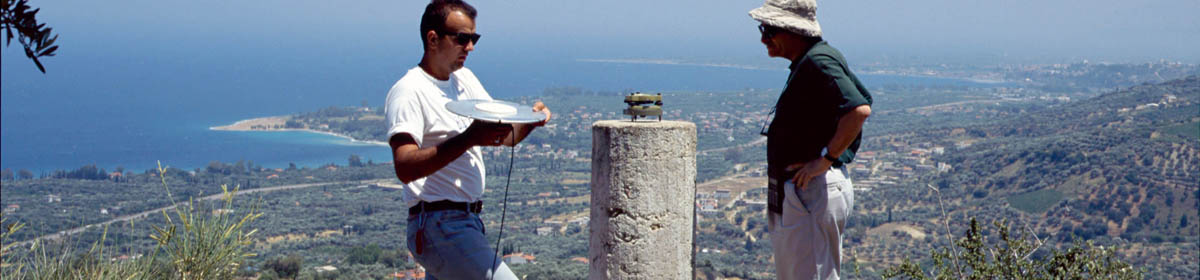
Corinth Rift Observatory – Site KALA (Kalavrita)
Corinth Rift Observatory – Site DLFA (Delfi)
Seismology:
Corinth Rift Observatory – Site KALE (Kalithea)
Corinth Rift Observatory – Site LAKA (Lakka)
West Hellenic Arc Tsunamis
A joint project ENS/PSL/UMR8538 – CEA/DASE in the framework of the Laboratoire Yves Rocard
Download the KML file
Download the PPT file
Collaborations
Catalogs of events
See here details about the selected earthquakes
Twenty one selected tsunami
| Date | Cause | M | Area | Lat | Lon |
| Jun -426 | Earthquake | 7.1 | Corinth-Patras gulfs | 38.9 | 22.7 |
| -373 | Earthquake & landslide | 7.3 | Corinth-Patras gulfs | 38.25 | 22.25 |
| 21/7/365 | Earthquake | 8.0 | Crete | 35 | 23 |
| Apr 551 | Earthquake & landslide | 7.1 | Etolia | 38.4 | 22.3 |
| 5/5/1622 | Earthquake | 6.6 | Zakynthos | 37.6 | 21.0 |
| 5 Nov 1633 | Earthquake | 6.9 | Zakynthos | 37.6 | 21 |
| 14/5/1748 | Earthquake | 6.8 | Corinth-Patras gulfs | 38.3 | 22.1 |
| 29/12/1820 | Earthquake | 6.9 | Zakynthos | 37.75 | 21.25 |
| 6/1/1821 | Earthquake | 6.5 | Ionian sea | 37.8 | 21.3 |
| 26/12/1861 | Earthquake | 7.3 | Corinth Guf | 38.2 | 22.2 |
| 20/9/1867 | Earthquake | 7.1 | Peloponnesus | 36.4 | 22.2 |
| 22/4/1928 | Earthquake | 6.0 | Corinth gulf | 38. | 23. |
| 22/4/1948 | Earthquake | 6.5 | Ionian sea | 38.532 | 20.427 |
| 7/2/1963 | Landslide | Corinth gulf | 38.31 | 22.02 | |
| 6/7/1965 | Earthquake | 6.3 | Corinth gulf | 38.267 | 22.300 |
| 12/8/1953 | Earthquake | 7.2 | Cephalonia | 38.30 | 20.8 |
| 9/7/1956 | Earthquake | ~7.5 | Amorgos | 36.64 | 25.78 |
| 24/2/1981 | Earthquake | 6.7 | East Corinth gulf | 38.222 | 22.934 |
| 21/2/1984 | Earthquake | 5.4 | Gorinth gulf | 38.396 | 22.094 |
| 15/6/1995 | Earthquake & landslide | 6.5 | Centre Corinth gulf | 38.401 | 22.283 |
| 14 Feb 2008 | Earthquake | 6.9 | Methoni | 37.522 | 21.719 |
| 1/7/2009 | Earthquake | 6.4 | Crete | 34.164 | 25.471 |
| 17/11/2015 | Earthquake & landslide | 6.4 | Lefkada | 38.67 | 20.6 |
| 25/10/2018 | Earthquake | 6.8 | Zakynthos | 37.506 | 20.563 |
| 3/5/2020 | Earthquake | 6.6 | South Crete | 34.10 | 25.70 |
| 30/10/2020 | Earthquake | 7.0 | Samos island | 37.82 | 26.72 |
In order to correct the Sentinel-1 interferograms produced routinely, we have set-up a routine production of « meteograms » made using the WRF code at 1km grid size in the CRL area.
A WRF model is produced for all epochs (every 30mn) and we extract those acquired at the time of the ascending and descending sentinel passes (4:30am and 4:30pm).
The difference of two WRF grids is what we call a meteogram.