Auteur/autrice : crl
The tide gauges array
Link to imagery software and utilities
Digital Elevation Models (sea-floor elevation)
Digital Elevation Models (land)
Pleiades data
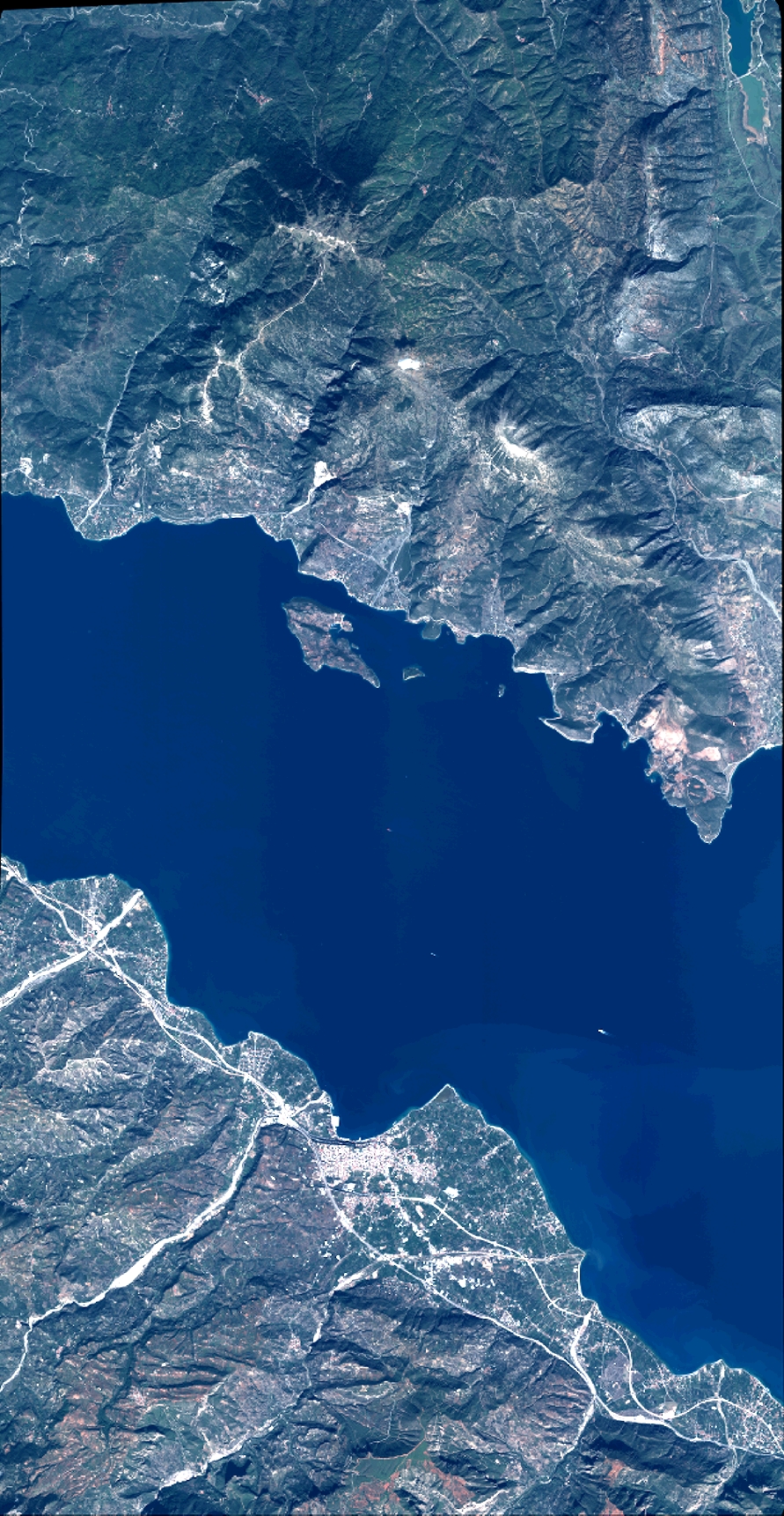
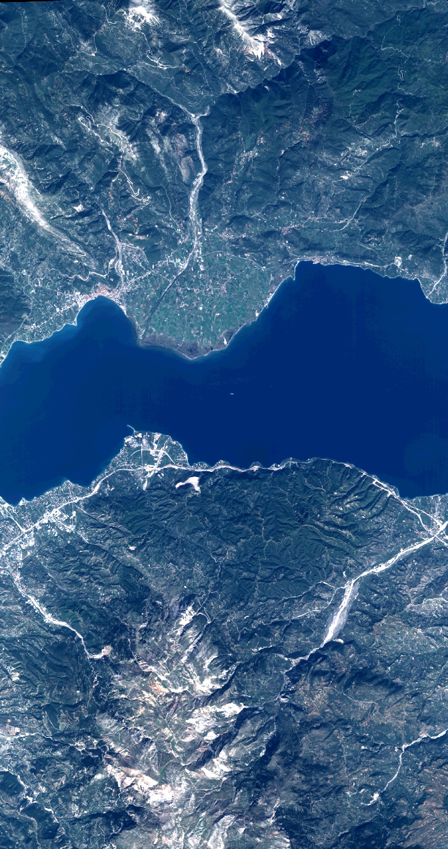
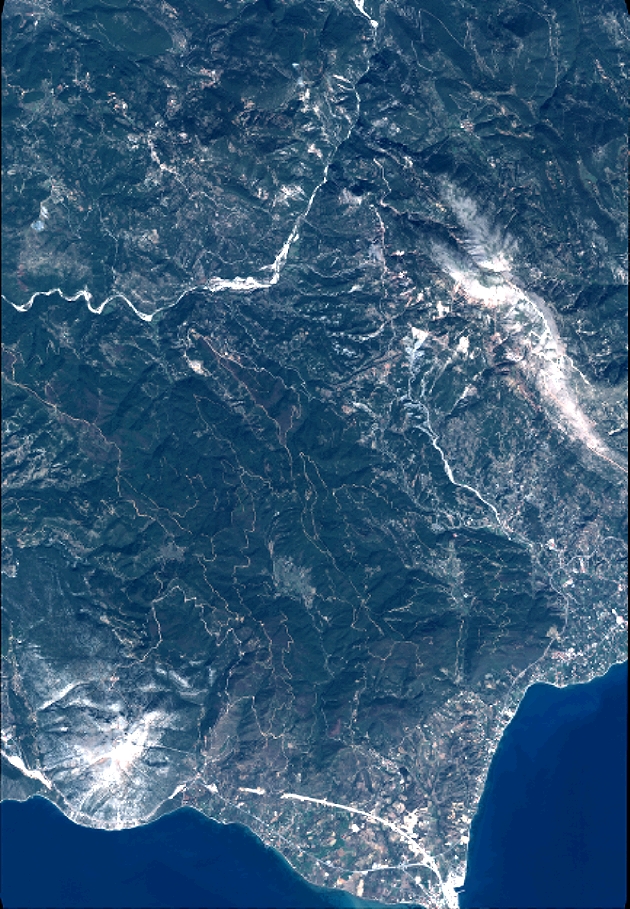
Pleiades coverage of the core NFO area
A Pleiades coverage of the core NFO CRL area was acquired between September 25 and October 15, 2016 (procedure ISIS for research projects). A mosaic of four acquisitions (25/9, 1/10, 9/10, 15/10) is available. Download below KMZ file and examples of crops of MS and Panchro For the edition and processing of your data, you can use the ORFEO ToolBox, an open source pool of programmes developed by CNES

Details of the Pleiades mosaic over CRL core – 4.5 Mb |

Crop of multispectral image of Oct 9, 2016 – 1.9 Mb |

Crop of panchro image of Oct 9, 2016 – 1.2 Mb |
Goto the data (please contact CRL team first and sign agreement with CNES (ISIS procedure for science))
Link to InSAR software and utilities
InSAR velocities
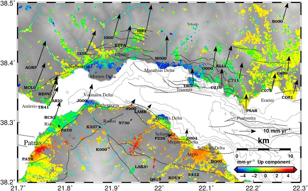
Ground Vertical and east Velocities for the Western Gulf of Corinth, Greece, combining InSAR and GPS
Ground Vertical and east Velocities for the Western Gulf of Corinth, Greece, combining InSAR and GPS. The vertical and east-west ground deformation velocities of different resolution and precision using 70 ASAR/ENVISAT acquisitions between 2002-2010 and velocities from 73 GNSS points are available to be downloaded.
Interferograms
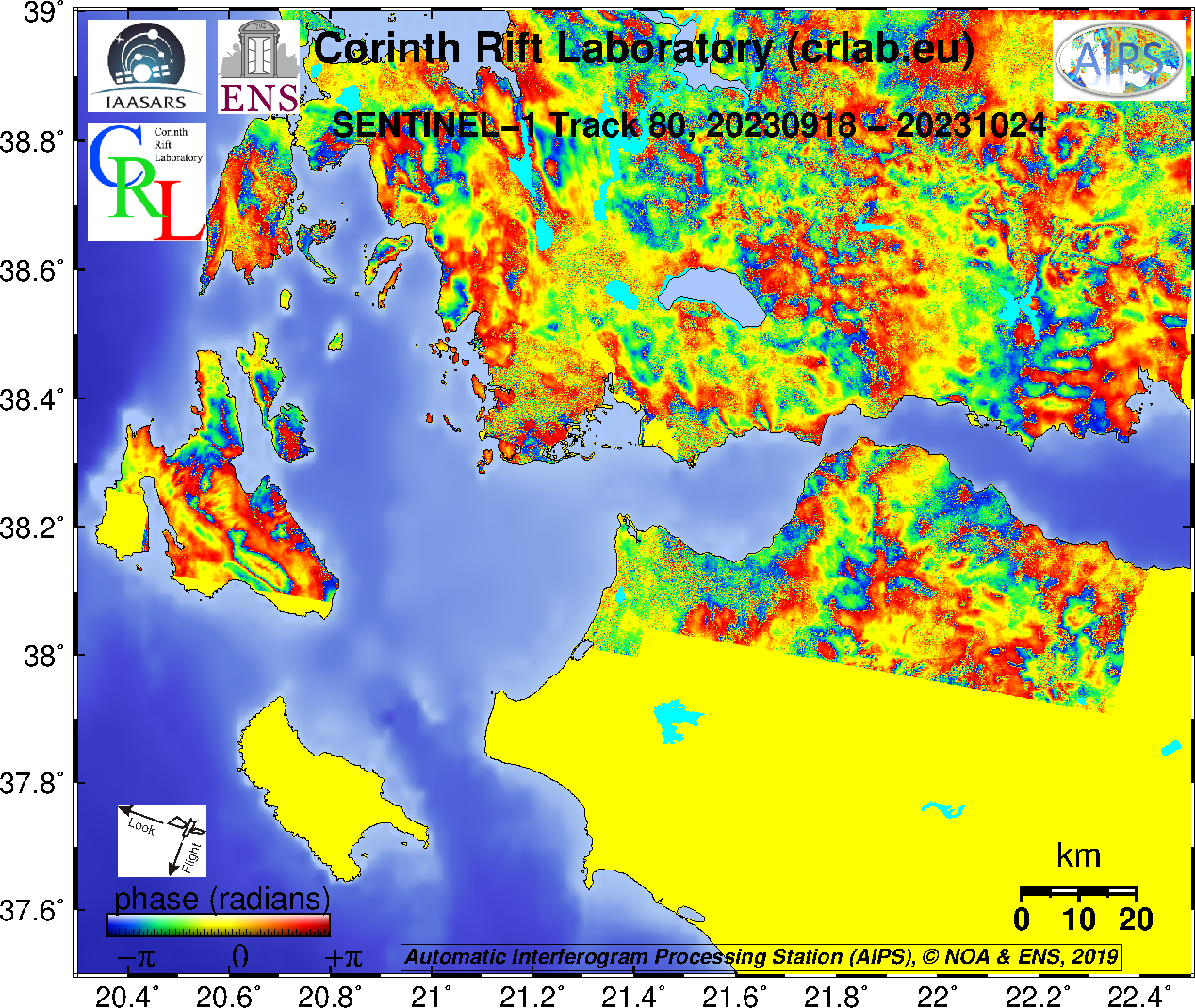
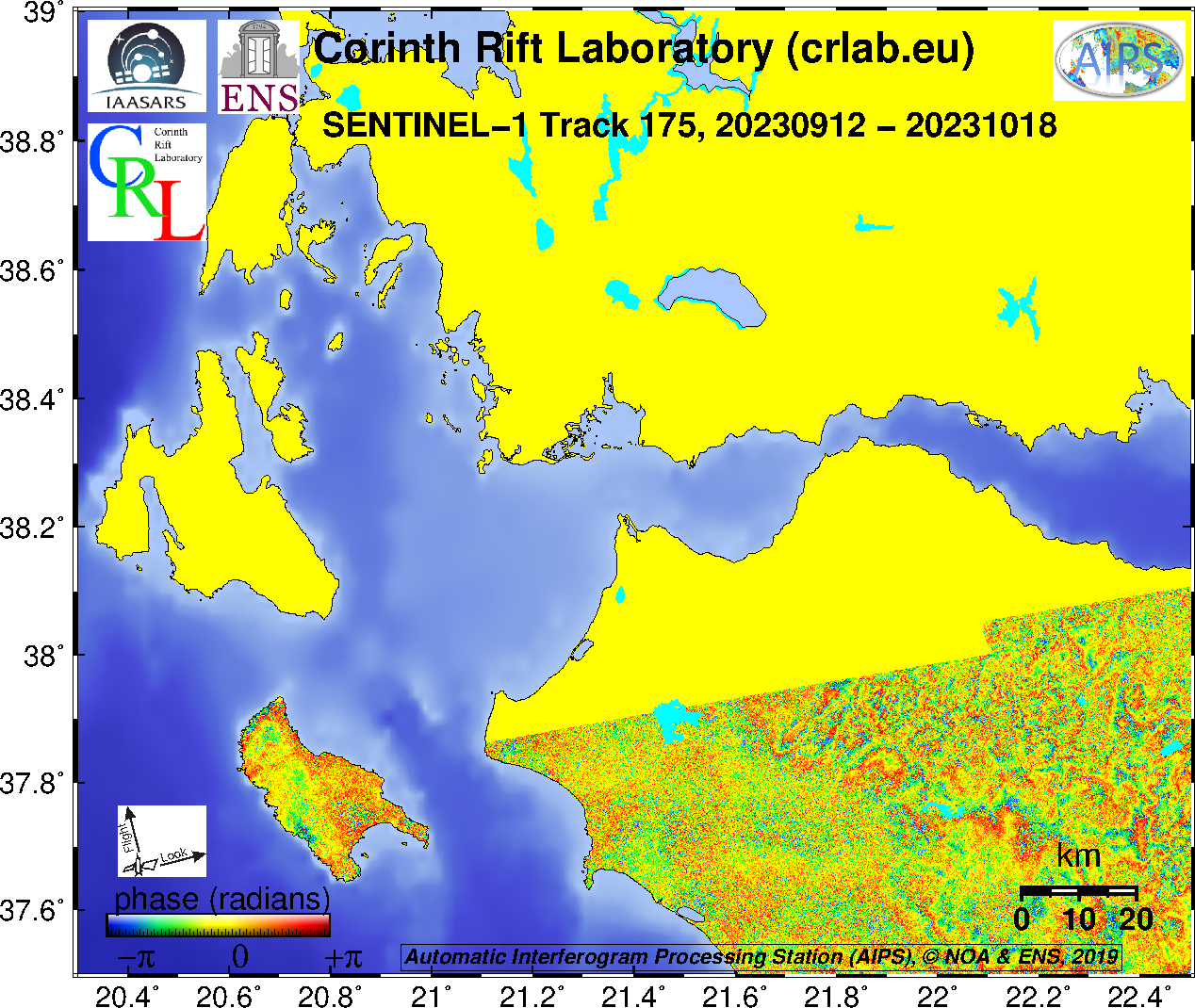
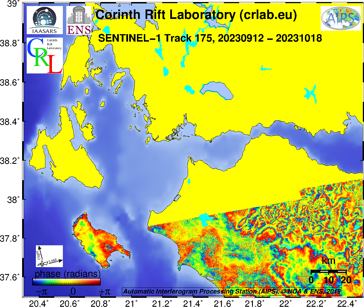
SENTINEL-1 last routine interferogram from AIPS
- Track 80 : unfiltered, filtered
- Track 175 : unfiltered, filtered
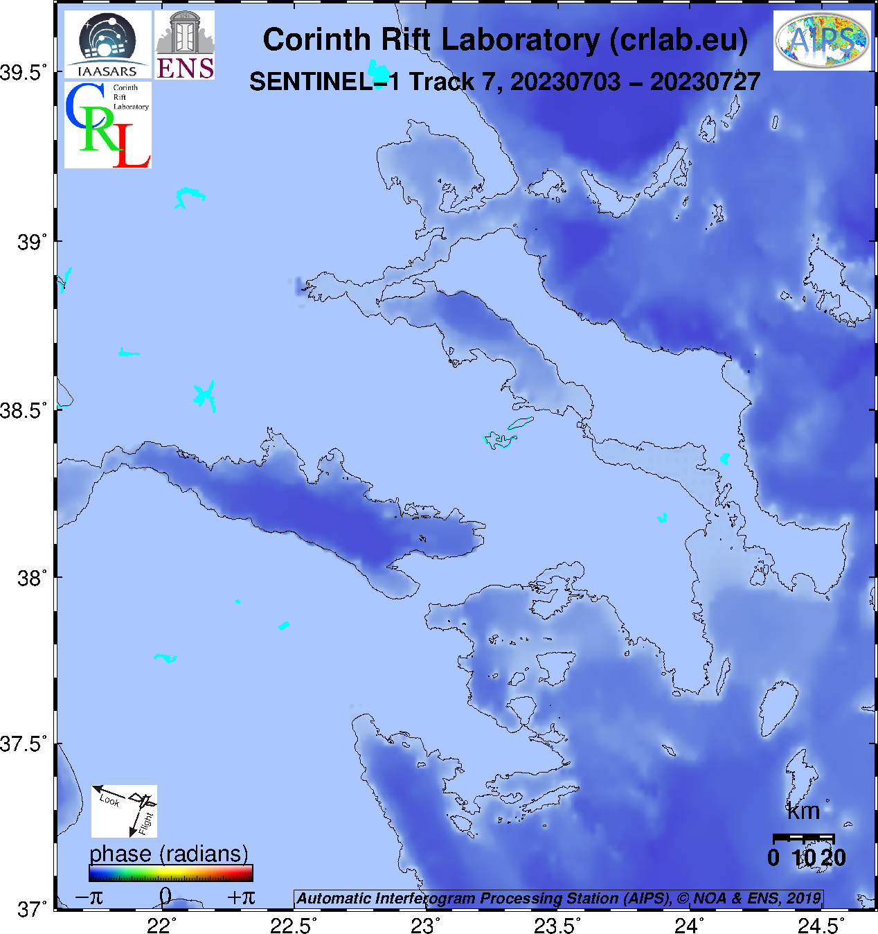
- Track 7 : unfiltered, filtered
SENTINEL-1 archived routine interferograms from AIPS
- Track 80
- unfiltered: Figures, high res pngs, geotif phase, geotif amplitude
- filtered: Figures, high res pngs, geotif phase, geotif amplitude
- Track 175
- unfiltered: Figures, high res pngs, geotif phase, geotif amplitude
- filtered: Figures, high res pngs, geotif phase, geotif amplitude
- Track 7
- unfiltered: Figures, high res pngs, geotif phase, geotif amplitude
- filtered: Figures, high res pngs, geotif phase, geotif amplitude
SENTINEL-1 archived interferograms
The interferograms are in GeoTiff format (more details about meta-data)
Ascending (Track 175)
- SNAP (track 175) (caution: phase histogram not flat)
- DLR
- IREA
- DIAPASON
Descending (Track 80)
- SNAP (track 80) (caution: phase histogram not flat)
- DLR
- IREA
- DIAPASON
Coherence
Ascending (Track 175 – from 97 images): Histogram Coherence Coherence_rvb (blue = most coherent)
Descending (Track 80 – from 575 interferograms): Histogram Coherence Coherence_rvb (blue=most coherent)
RAW and SLC data from SAR sensors on board of satellites
Envisat data of the ENS ftp server ‘GNSS‘