WHATsun

West Hellenic Arc Tsunamis

A joint project ENS/PSL/UMR8538 – CEA/DASE in the framework of the Laboratoire Yves Rocard

Download the KML file

Download the PPT file

Collaborations

  • MOSAIC consortium
  • National Observatory of Athens
  • CNES
  • IGN
  • Observatoire de Paris
  • Université de la Rochelle
  • Istituto Nazionale di Geofisica e Vulcanologia

Catalogs of events

See here details about the selected earthquakes

Twenty one selected tsunami 

Date Cause M Area Lat Lon
Jun -426 Earthquake 7.1 Corinth-Patras gulfs 38.9 22.7
-373 Earthquake & landslide 7.3 Corinth-Patras gulfs 38.25 22.25
21/7/365 Earthquake 8.0 Crete 35 23
Apr 551 Earthquake & landslide 7.1 Etolia 38.4 22.3
5/5/1622 Earthquake 6.6 Zakynthos 37.6 21.0
5 Nov 1633 Earthquake 6.9 Zakynthos 37.6 21
14/5/1748 Earthquake 6.8 Corinth-Patras gulfs 38.3 22.1
29/12/1820 Earthquake 6.9 Zakynthos 37.75 21.25
6/1/1821 Earthquake 6.5 Ionian sea 37.8 21.3
26/12/1861 Earthquake 7.3 Corinth Guf 38.2 22.2
20/9/1867 Earthquake 7.1 Peloponnesus 36.4 22.2
22/4/1928 Earthquake 6.0 Corinth gulf 38. 23.
22/4/1948 Earthquake 6.5 Ionian sea 38.532 20.427
7/2/1963 Landslide   Corinth gulf 38.31 22.02
6/7/1965 Earthquake 6.3 Corinth gulf 38.267 22.300
12/8/1953 Earthquake 7.2 Cephalonia 38.30 20.8
9/7/1956 Earthquake ~7.5 Amorgos 36.64 25.78
24/2/1981 Earthquake 6.7 East Corinth gulf 38.222 22.934
21/2/1984 Earthquake 5.4 Gorinth gulf 38.396 22.094
15/6/1995 Earthquake & landslide 6.5 Centre Corinth gulf 38.401 22.283
14 Feb 2008 Earthquake 6.9 Methoni 37.522 21.719
1/7/2009 Earthquake 6.4 Crete 34.164 25.471
17/11/2015 Earthquake & landslide 6.4 Lefkada 38.67 20.6
25/10/2018 Earthquake 6.8 Zakynthos 37.506 20.563
3/5/2020 Earthquake 6.6 South Crete 34.10 25.70
30/10/2020 Earthquake 7.0 Samos island 37.82 26.72


Routine production of meteograms with WRF at 1km grid size

In order to correct the Sentinel-1 interferograms produced routinely, we have set-up a routine production of « meteograms » made using the WRF code at 1km grid size in the CRL area.

A WRF model is produced for all epochs (every 30mn) and we extract those acquired at the time of the ascending and descending sentinel passes (4:30am and 4:30pm).

The difference of two WRF grids is what we call a meteogram.


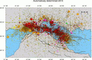
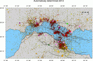
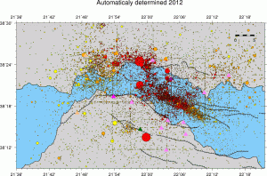
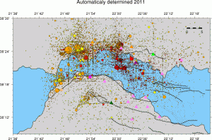
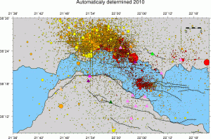
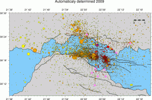
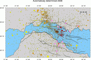
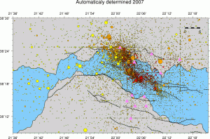
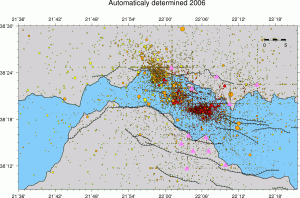
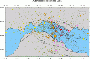
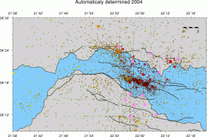
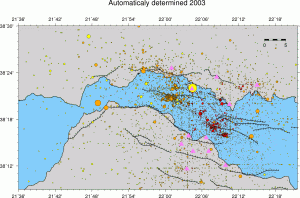
Earthquake catalogs and seismicity maps

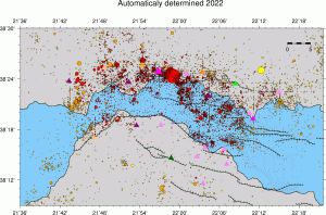
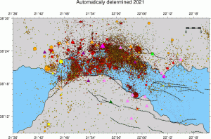
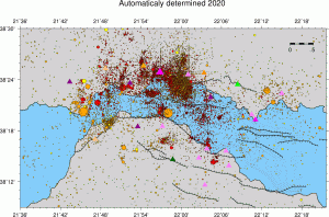
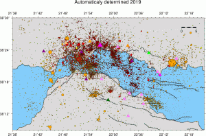
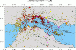
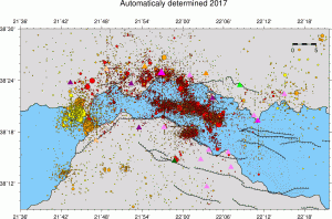
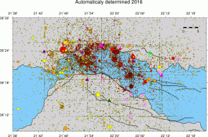
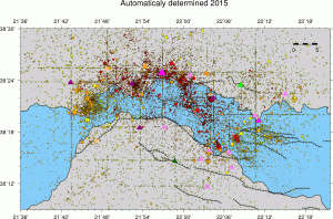
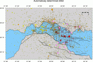
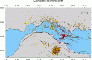
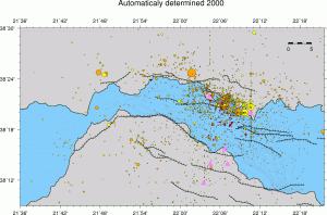
  • Earthquake catalogs are based on automatic detection and picking. Magnitudes Mw and Ml are also computed automaticaly. Locations are calculated in the 1D velocity model of Rigo et al. (1996) using hypo71 location code. Mw and Ml are calculated using SourceSpec (Satriano, 2020)

Rigo, A., H. Lyon-Caen, R. Armijo, A. Deschamps, D. Hatzfeld, K. Makropoulos, P. Papadimitriou, and I. Kassaras (1996), A microseismic study in the western part of the Gulf of Corinth (Greece) : Implications for large-scale normal faulting mechanisms, Geophys. J. Int., v. 126(3), pp. 663-688.

Satriano, C. (2020) SourceSpec-Earthquake source parameters from S-wave displacement spectra. DOI: 10.5281/ZENODO.3688587

  • Format of catalogs is as follows: year, month, day, hour, minute, seconds, latitute, longitude, depth, Mw, Ml, erx, ery, erz, rms, number of P phases, number of S phases, quality (according to hypo71)
  •  Seismicity maps: quality A events (best ones) are in dark red, quality B in red, quality C in orange and quality D (low reliability) in yellow... Size is proportional to seismic moment.
cat_2022_Mw cat_2021_Mw cat_2020_Mw
cat_2019_Mw cat_2018_Mw cat_2017_Mw
cat_2016_Mw cat_2015_Mw cat_2014_Mw
cat_2013_Mw cat_2012_Mw cat_2011_Mw
cat_2010_Mw cat_2009_Mw cat_2008_Mw
cat_2007_Mw cat_2006_Mw cat_2005_Mw
cat_2004_Mw cat_2003_Mw cat_2002_Mw
cat_2001_Mw

cat_2000_Mw

Continuer la lecture de « Earthquake catalogs and seismicity maps »

MOSAIC-ITN-EJD Joint PhD agreements

Below are templates, informations and links concerning the joint-PhD agreements in the partner institutions

  • ENS – Research University PSL: Joint-agreement
    • contacts: Cellule projets – Etudes doctorales:
  • Harokopio University of Athens
  • University of Patras
  • Bulgarian Academy of Sciences
  • University Federico II Naples: PhD page


MOSAIC ITN-EJD ERS Projects

ESR1: NIGGG – INGV (Bulgaria – Italy)

ESR2: NOA – NIGGG (Greece – Bulgaria)

ESR3: HUA – CNRS (Greece – France)

ESR4: NKUA – CNRS (Greece – France)

ESR5: CNRS – UNINA (France – Italy)

ESR6: INGV – CNRS (Italy – France)

ESR7: CNRS – NOA (France – Greece)

ESR8: CUP – CNRS (Czech Republic – France)

ESR9: INGV – HUA (Italy – Greece)

ESR10: UNINA – CNRS (Italy – France)

ESR11: CNRS – NOA (France – Greece)

ESR12: CNRS – UPAT (France – Greece)

ESR13: UPAT – CUP (Greece – Czech Republic)

ESR14: CNRS – NKUA (France – Greece)

ESR15: NOA – INGV (Greece – Italy)


NOA WRF modelling of the troposphere

The central area (AREA-4), with ~1km pixel size and 30mn temporal scale, is surrounded by tha Areas 3, 2 and 1, all with 3h temporal scale

[wpgmza id= »11″]

We use the WRF model with the following areas

  • Domain 1: 100 lines & 128 columns (27.794N , -1.822E / 51.531N , 41.557E)
  • Domain 2: 96 lines & 102 columns (34.476N , 18.617E / 41.406N , 30.311E)
  • Domain 3: 96 lines & 120 columns (37.381N , 19.872E / 39.738N , 24.354E)
  • Domain 4: 102 lines & 138 columns (37.95N , 21.095E / 38.78N , 22.800E)

MOSAIC ITN-EJD Work packages

WP1: ITN Project management

WP2: Summer schools

WP3: Workshops

WP4: SAR Interferometry (long time series 1992-2020, advanced InSAR (PS, SBAS, …), improving atmospheric correction, tie with GNSS, …)

WP5: GNSS (static with permanent and campaign observations, long time series 1990-2020, kinematic (techniques and applications), high rate) and gravity (absolute and relative, network and continuous).

WP6: Geodesy at sea (sea level, sea-bottom geodesy (1D & 3D positioning), sea-bottom strain measurements)

WP7: Earthquakes (observations and models 1990-2020, includes tsunami), transients (and their observation with geodetic sensors), localized deformation, faults

WP8: Deformation at large scale and long term (models of strain distribution and changes), connexion between rift, CTF, subduction. Continuity geomorphology (DEM), erosion (DEM changes), upper crust (structure, rheology), lower crust (rheology), mantle.

WP9: Outreach activities (Dissemination (web site), communication (sessions at international conferences, special volumes), exploitation)

MOSAIC ITN-EJD Project Summary

This ITN-EJD gathers universities and institutions from five countries, France, Greece, Czech Republic, Italy, Bulgaria, collaborating in the Corinth Rift Laboratory (http://crlab.eu), one of the EPOS Near Fault Observatories. The training network covers the various aspects of Geodesy already used for the research at CRL (GNSS, SAR interferometry, gravity) and those that we want to develop (sea level measurements, tilt measurements, off-shore Geodesy). Many of the techniques in use are evolving quickly from the technological point of view: GNSS with the arrival of new constellations like GALILEO and new positioning techniques like the PPP, SAR interferometry with several recent missions like SENTINEL, gravity with the development of new absolute gravity sensors based on cold atoms technologies, off-shore sensors for distance, strain, depth, tilt, gravity observations developed with a strong push of the industrials and also because of the need of more geophysical observations off-shore (e.g. for resources prospecting, meteorology, tsunami detection). The area of investigation for the ITN team is the « extended CRL area », which covers the NFO itself and the Ionian islands to the west. At such scale the partnership is beneficial not only for the NFO itself but also for the understanding and better assimilation of the boundaries conditions of the NFO, from the geophysical points of view (e.g. how the rifting process is related to the underlying subduction), and from the methodological point of view (e.g. in GNSS meteorology or in sea level analysis). The space observation plays an important role in this ITN, bridging the various work packages. The ESR involved in the ITN will have the opportunity to work in collaboration with several of the partner institutions, they will have the opportunity to do fieldwork in-land and/or off-shore. The ESR will also contribute to outreach activities in the targeted area